Central Texas site intelligence

Should you build here?

Decide if a Central Texas parcel is worth your capital — with evidence you can show your partners.

Cited
Public data sources
<60s
Analysis time
Free
No signup required

Prospect an area

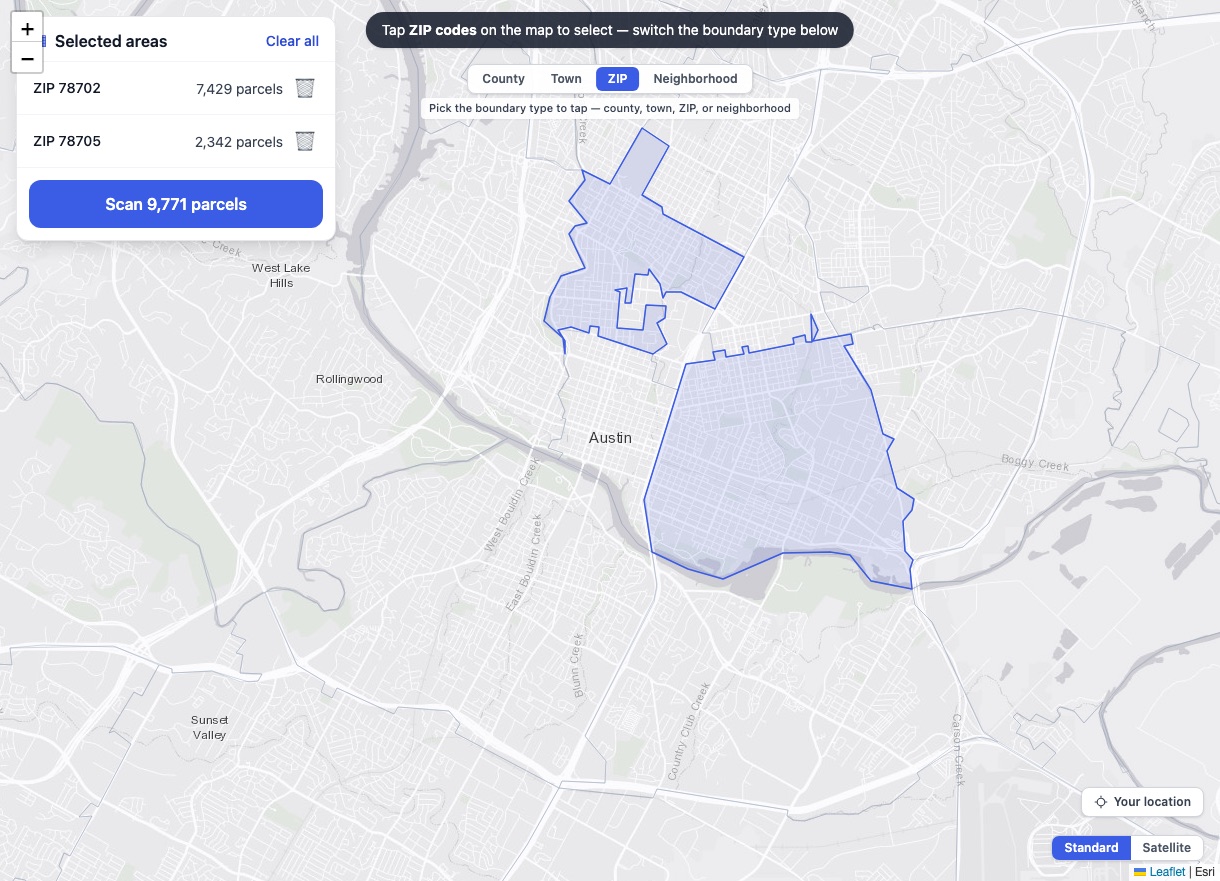
Select areas on the map

Draw or tap areas on the map — every parcel inside gets scored and ranked.

You can search multiple areas at the same time by selecting them directly on the map.

Start selecting areas →
Two Austin ZIP boundaries selected on the Plat area map, 9,771 parcels ready to scan

A real report, from a real address

Every Plat report ends in an answer — Build, Caution, or Don't build — with each finding cited to a public source.

Stop guessing. Start knowing.

The old way

  • $30K–$75K+ in pre-acquisition due diligence
  • 4–8 weeks across 5–8 vendors
  • Data is stale by delivery
  • No single source of truth
  • No source citations

With Plat

  • A capital decision in minutes, not weeks
  • Know before you spend $50K+
  • Real-time public data you can show your partners
  • Build / Caution / Don't build — a straight answer
  • Deterministic guardrails — flood risk and residential zoning can't be missed
  • Your searches stay yours — US data residency

How it works

Step 1

Enter an address

Central Texas, from San Antonio to Georgetown. Autocomplete helps you find it.

Step 2

We read the public record

Zoning, flood zones, demographics, permits, property data — pulled in parallel.

Step 3

Get your answer

Build, Caution, or Don't build — with every reason cited to a public source.

Built on authoritative public data

Every finding cites its source. No hallucinations. No guessing.

Zoning records · Flood maps · Demographics · Property records · Building permits · Traffic counts · Walkability · Schools · Geocoding
Try it free. No signup required.